Basic engineering studies

Field data

Basic engineering studies

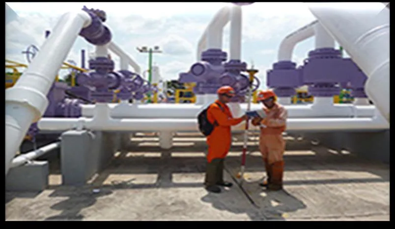
Our own field crews and state-of-the-art equipment for precision surveys.

At our firm, we offer Basic Engineering Consulting and Studies services, specializing in preliminary studies carried out with state-of-the-art equipment that guarantee high precision. Our expert team, backed by more than 40 years of experience, collects data on site about physical and environmental conditions, adapting to each project's specifications.

The results obtained are essential for building detailed BIM models during the basic engineering phase, allowing a precise view of the site's real characteristics, fundamental for detailed engineering development. These models meet rigorous quality standards in precision and results. Our field crew personnel collect physical information according to each discipline; they have more than 40 years of experience and certifications for the correct use of the most modern equipment on the market.

In detail

What this service includes

Topographic and geodetic surveys

01

Topographic and geodetic surveys

These consist of precisely measuring the position, elevation and configuration of the terrain using dual-frequency GNSS equipment, total stations and precision levels. These surveys are the geometric foundation of any project: road, platform, foundation and utility-network design all rely on them. Our field crews work in urban areas as well as hard-to-reach terrain, such as riverbanks and lake zones, georeferencing every point with centimeter-level precision.
Geological and geophysical studies

02

Geological and geophysical studies

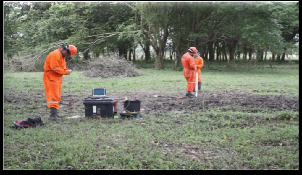
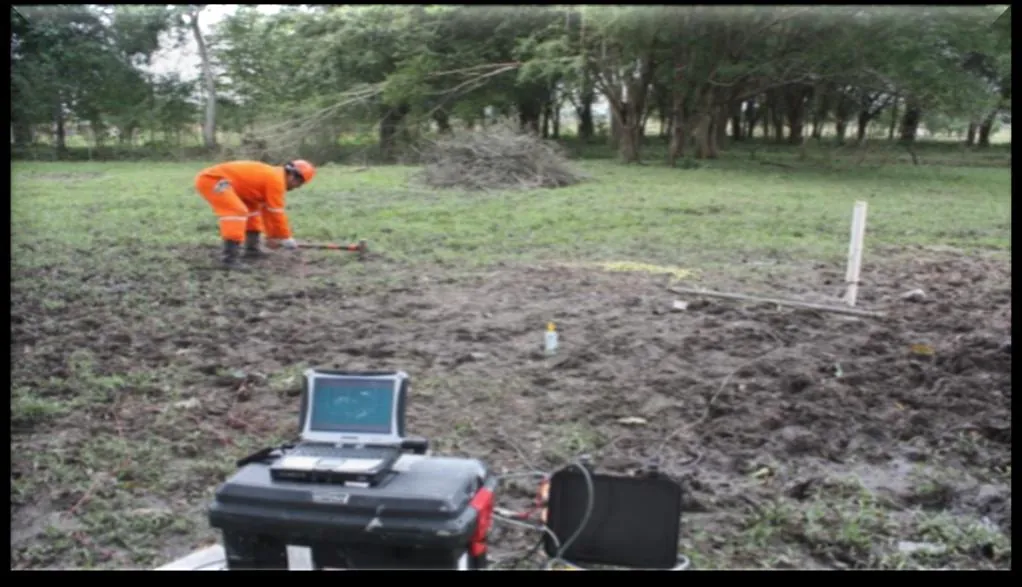
These analyze the composition, structure and behavior of the subsoil using indirect methods such as seismic refraction and electrical resistivity, complemented by geological interpretation of the area. They allow us to anticipate subsurface conditions — faults, cavities, water table, rock or soil type — before drilling, reducing risks and surprises during construction, especially for linear infrastructure works and industrial platforms.

Geotechnical and soil mechanics studies

03

Geotechnical and soil mechanics studies

These determine the soil's bearing capacity and mechanical properties through Standard Penetration Tests (SPT), dynamic tests (DPSH, DPH) and undisturbed sample recovery for laboratory testing. This information defines the right foundation type for each structure — shallow or deep — and identifies risks such as expansive, soft or liquefaction-prone soils, essential for the safe design of any building or road.

04

Topo-hydraulic studies

These evaluate the hydraulic behavior of channels, watersheds and drainage works: design discharge, flood levels, flow velocities and the conveyance capacity of canals and hydraulic structures. They are essential for designing bridges, culverts, canals and stormwater drainage systems, as well as for assessing a site's flood risk before construction.

05

River and offshore bathymetric studies

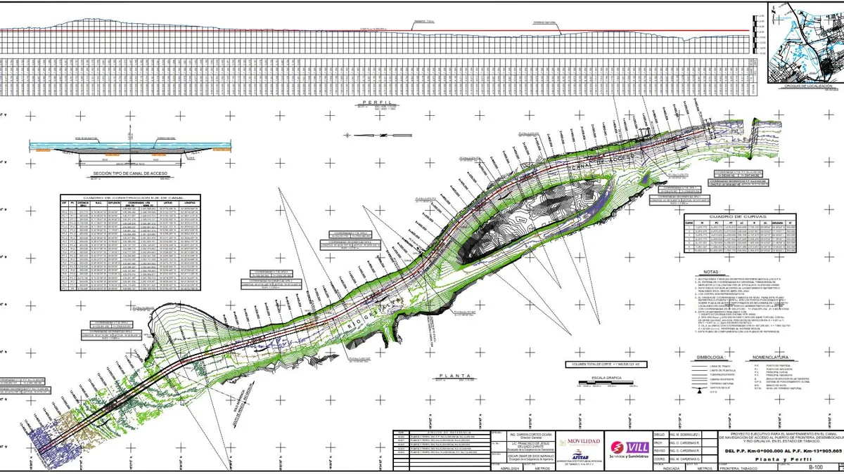
These measure the depth and shape of the bottom of rivers, channels and coastal areas using echo sounders and GNSS positioning equipment, producing plan and profile drawings of the bed. They are the basis for dredging projects, navigation channel maintenance, underwater pipeline crossings and port works, such as the work we have carried out at the access channel of the Port of Frontera, on the Grijalva River.

06

As-Built development (Scan to BIM)

We document existing facilities through 3D laser scanning, converting the captured point cloud into detailed BIM models that represent the real geometry of structures, piping and building systems with millimeter precision. This service is key when the original construction records are unavailable or no longer match the built condition, and is essential for expansion, remodeling or maintenance projects at operating industrial plants.

07

Construction and topographic expert reports

We produce independent technical reports on the condition, dimensions or regulatory compliance of an existing construction or survey, backed by field measurements and photographic documentation. These reports are used to resolve contractual disputes, verify compliance with executive projects, or assess damage and impacts on structures.

08

Cadastral surveys

These consist of precisely measuring and delimiting properties for regularization, titling, or the merging and subdivision of land, in accordance with current cadastral regulations. We produce the drawings and technical documentation required for filings with the public property registry and municipal or state cadastral authorities.

Reference cases

Bathymetric studies, river and offshore

Detail drawings for the comprehensive pipeline-replacement analysis at river right-of-way crossings, with trench design based on hydrological, hydraulic and scour studies approved by the CNA.

Bathymetric study

Bathymetric studies, river and offshore

Executive project for the maintenance of the navigation access channel, river mouth and river at the Port of Frontera, Tabasco, with a general plan and bathymetric profile.

This kind of study relies on the same technology we use to georeference more than 3,500 km of Pemex pipelines and survey more than 100,000 m² of industrial facilities across the southern region.

Soil stratigraphic modeling

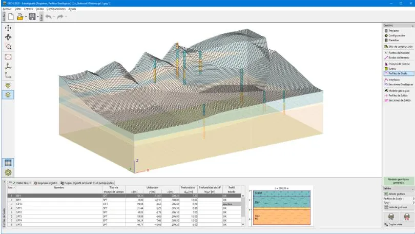
Soil stratigraphic modeling built from geological profiles and field tests (SPT, CPT), processed in specialized geotechnical software.

Digital deliverable

Soil stratigraphic modeling

From the borings and soil profiles surveyed in the field, we build three-dimensional geological models that show the interface between strata and the water table, a direct input for foundation design.

Digital terrain model

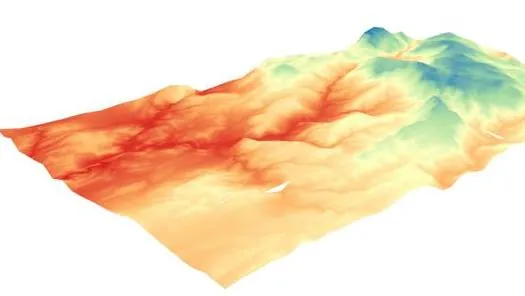
Digital terrain model (DTM) generated from point clouds and field topographic data.

Digital deliverable

Digital terrain model

The DTM is the foundation of the entire engineering process: roads, platforms and structures are traced over it with the certainty of knowing the site's real surface.

Scan to BIM (As-Built)

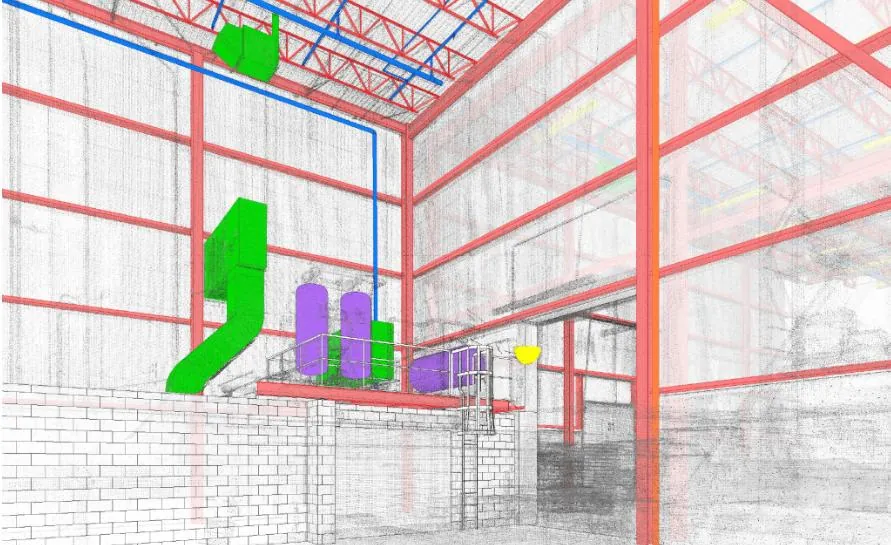
Point cloud converted into a BIM model of an existing industrial facility: structure, piping and building systems represented with millimeter precision.

Digital deliverable

Scan to BIM (As-Built)

As-Built surveying via laser scanning lets us document existing facilities with precision, essential for expansion, maintenance or remodeling projects.

Next-generation equipment

Technology for collecting
physical field data

GNSS positioning

GPS Topcon GR-3

  • Dual frequency · GPS + GLONASS + Galileo
  • 72 universal G3 tracking channels
  • Cable-free base–rover operation
  • Ultra-rugged field construction
Geotechnics

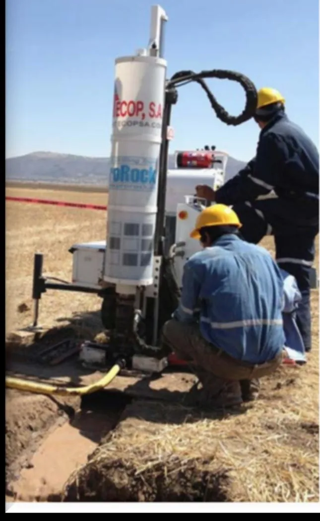
SPT TEC-10 penetrometer

  • SPT · DPSH · DPH testing
  • Undisturbed sample recovery
  • Reduced weight: 850 kg · crawler carrier
  • Automatic hammer system
Geophysics

Seistronix RAS-24 seismograph

  • 24-bit A/D resolution
  • 12 or 24 channels per module (up to 240)
  • DownHole data acquisition
  • Impact-controlled wave source
Drilling

Fraste Mito 40 drill rig

  • Kubota diesel engine, 74 kW (100 hp)
  • Micropiles · anchors · ground consolidation
  • Rotary diamond drilling
  • Mineral exploration and civil works
Electrical testing

Megger DET2/2

  • Earth connection and resistivity testing
  • High resolution: 1 mΩ
  • BS 7430 · VDE 0413 · IEEE standards
  • Rugged instrument, IP54 protection
Instrumentation

Certified field crews

  • Total stations and precision levels
  • Controlled seismic wave generator
  • All-terrain equipment for lake zones
  • 20+ years of field experience
From the field to the model

Digital deliverables

  • Digital terrain model (DTM)
  • Soil stratigraphic modeling
  • Scan to BIM · As-Built
  • River / offshore bathymetric plan and profile

Contact

Let's build your next project

Tell us the scope of your project or study and we will present a tailored technical and economic proposal.

Base Villahermosa, Tabasco · MexicoCoverage internationalDistinction ESR · Socially Responsible Company